
Thank you for supporting this site ❤️
Make a donation
Make a donation
Lakewood topographic map
Click on the map to display elevation.
Thank you for supporting this site ❤️
Make a donation
Make a donation
About this map
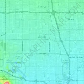
Name: Lakewood topographic map, elevation, terrain.
Location: Lakewood, Los Angeles County, California, United States (33.82006 -118.16781 33.86923 -118.05898)
Average elevation: 17 m
Minimum elevation: 3 m
Maximum elevation: 108 m
Thank you for supporting this site ❤️
Make a donation
Make a donation
Other topographic maps
Click on a map to view its topography, its elevation and its terrain.