
Thank you for supporting this site ❤️
Make a donation
Make a donation
Kuttapalayam topographic map
Click on the map to display elevation.
Thank you for supporting this site ❤️
Make a donation
Make a donation
About this map
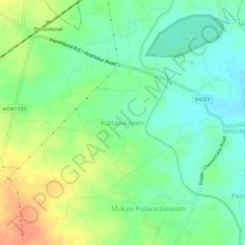
Name: Kuttapalayam topographic map, elevation, terrain.
Location: Kuttapalayam, Perundurai, Erode, Tamil Nadu, 638112, India (11.21748 77.62122 11.25748 77.66122)
Average elevation: 254 m
Minimum elevation: 236 m
Maximum elevation: 280 m
Thank you for supporting this site ❤️
Make a donation
Make a donation
Other topographic maps
Click on a map to view its topography, its elevation and its terrain.