
Thank you for supporting this site ❤️
Make a donation
Make a donation
Loch Katrine topographic map
Click on the map to display elevation.
Thank you for supporting this site ❤️
Make a donation
Make a donation
About this map
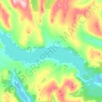
Name: Loch Katrine topographic map, elevation, terrain.
Location: Loch Katrine, Stirling, Scotland, United Kingdom (56.22909 -4.61623 56.28613 -4.42913)
Average elevation: 349 m
Minimum elevation: 83 m
Maximum elevation: 857 m
Thank you for supporting this site ❤️
Make a donation
Make a donation