
Thank you for supporting this site ❤️
Make a donation
Make a donation
Miramar topographic map
Click on the map to display elevation.
Thank you for supporting this site ❤️
Make a donation
Make a donation
About this map
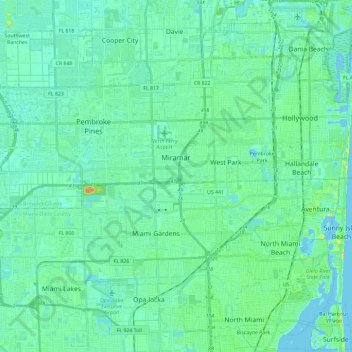
Name: Miramar topographic map, elevation, terrain.
Location: Miramar, Broward County, Florida, United States (25.95684 -80.44063 25.99541 -80.20612)
Average elevation: 6 m
Minimum elevation: -3 m
Maximum elevation: 30 m
Thank you for supporting this site ❤️
Make a donation
Make a donation