
Thank you for supporting this site ❤️
Make a donation
Make a donation
Lebanon topographic map
Click on the map to display elevation.
Thank you for supporting this site ❤️
Make a donation
Make a donation
About this map
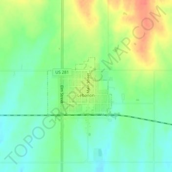
Name: Lebanon topographic map, elevation, terrain.
Location: Lebanon, Smith County, Kansas, 66952, United States (39.80666 -98.56349 39.81565 -98.55039)
Average elevation: 558 m
Minimum elevation: 538 m
Maximum elevation: 587 m
Thank you for supporting this site ❤️
Make a donation
Make a donation