
Piha küla topographic map
Interactive map
Click on the map to display elevation.
About this map
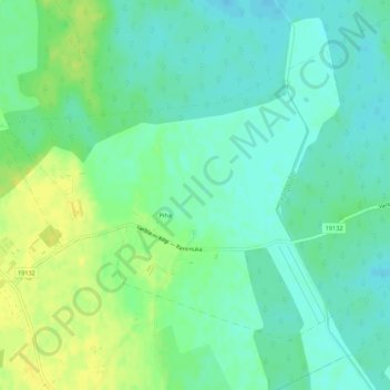
Name: Piha küla topographic map, elevation, terrain.
Location: Piha küla, Lääneranna vald, Pärnu maakond, 88225, Estonia (58.42515 23.75195 58.44658 23.80669)
Average elevation: 18 m
Minimum elevation: 10 m
Maximum elevation: 29 m