
Thank you for supporting this site ❤️
Make a donation
Make a donation
Sandana topographic map
Click on the map to display elevation.
Thank you for supporting this site ❤️
Make a donation
Make a donation
About this map
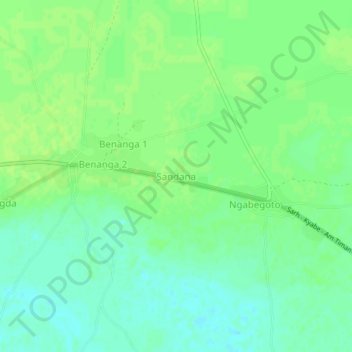
Name: Sandana topographic map, elevation, terrain.
Location: Sandana, Moyen-Chari, Chad (9.21353 18.44121 9.25353 18.48121)
Average elevation: 368 m
Minimum elevation: 361 m
Maximum elevation: 372 m
Thank you for supporting this site ❤️
Make a donation
Make a donation