
Croswell topographic map
Interactive map
Click on the map to display elevation.
About this map
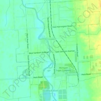
Name: Croswell topographic map, elevation, terrain.
Location: Croswell, Sanilac County, Michigan, United States (43.25732 -82.63496 43.28699 -82.59504)
Average elevation: 226 m
Minimum elevation: 217 m
Maximum elevation: 240 m