
Sutton County topographic map
Interactive map
Click on the map to display elevation.
About this map
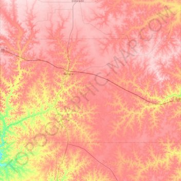
Name: Sutton County topographic map, elevation, terrain.
Location: Sutton County, Texas, United States of America (30.28765 -100.96064 30.71046 -100.11602)
Average elevation: 685 m
Minimum elevation: 527 m
Maximum elevation: 766 m
Other topographic maps
Click on a map to view its topography, its elevation and its terrain.
Lake Medina Highlands
United States of America > Texas > Lakehills > Lake Medina Highlands
Average elevation: 344 m