
Blackbutt topographic map
Click on the map to display elevation.
About this map
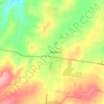
Name: Blackbutt topographic map, elevation, terrain.
Location: Blackbutt, South Burnett Regional, Queensland, Australia (-26.89745 152.08373 -26.86863 152.13581)
Average elevation: 450 m
Minimum elevation: 360 m
Maximum elevation: 530 m