
Thank you for supporting this site ❤️
Make a donation
Make a donation
Fisher topographic map
Click on the map to display elevation.
Thank you for supporting this site ❤️
Make a donation
Make a donation
About this map
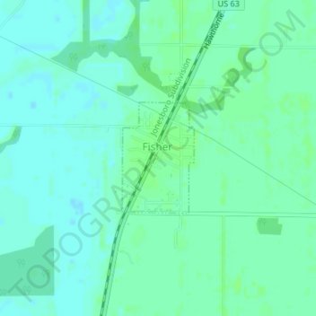
Name: Fisher topographic map, elevation, terrain.
Location: Fisher, Poinsett County, Arkansas, United States (35.48589 -90.97670 35.49539 -90.96914)
Average elevation: 70 m
Minimum elevation: 66 m
Maximum elevation: 75 m
Thank you for supporting this site ❤️
Make a donation
Make a donation
Other topographic maps
Click on a map to view its topography, its elevation and its terrain.