
South Spring topographic map
Interactive map
Click on the map to display elevation.
About this map
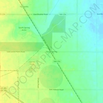
Name: South Spring topographic map, elevation, terrain.
Location: South Spring, Chaves County, New Mexico, United States (33.31566 -104.49275 33.35566 -104.45275)
Average elevation: 1,091 m
Minimum elevation: 1,080 m
Maximum elevation: 1,103 m