
Thank you for supporting this site ❤️
Make a donation
Make a donation
Brandenton Beach topographic map
Click on the map to display elevation.
Thank you for supporting this site ❤️
Make a donation
Make a donation
About this map
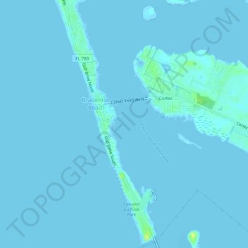
Name: Brandenton Beach topographic map, elevation, terrain.
Location: Brandenton Beach, Manatee County, Florida, United States (27.44352 -82.70770 27.48592 -82.68732)
Average elevation: 1 m
Minimum elevation: -1 m
Maximum elevation: 16 m
Thank you for supporting this site ❤️
Make a donation
Make a donation