
Ontong Java topographic map
Interactive map
Click on the map to display elevation.
About this map
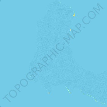
Name: Ontong Java topographic map, elevation, terrain.
Location: Ontong Java, Malaita Province, Solomon Islands (-5.53885 159.18424 -5.01906 159.70542)
Average elevation: 0 m
Minimum elevation: -1 m
Maximum elevation: 19 m
Other topographic maps
Click on a map to view its topography, its elevation and its terrain.
Malaita Province
Solomon Islands > Malaita Province
Malaita Province, Solomon Islands
Average elevation: 12 m
Sikaiana
Solomon Islands > Malaita Province
Sikaiana, Malaita Province, Solomon Islands
Average elevation: 0 m