
Thank you for supporting this site ❤️
Make a donation
Make a donation
Villas topographic map
Click on the map to display elevation.
Thank you for supporting this site ❤️
Make a donation
Make a donation
About this map
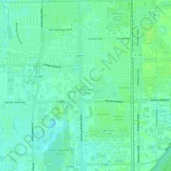
Name: Villas topographic map, elevation, terrain.
Location: Villas, Lee County, Florida, United States (26.52601 -81.88663 26.57566 -81.85429)
Average elevation: 5 m
Minimum elevation: 0 m
Maximum elevation: 10 m
Thank you for supporting this site ❤️
Make a donation
Make a donation
Other topographic maps
Click on a map to view its topography, its elevation and its terrain.