
Thank you for supporting this site ❤️
Make a donation
Make a donation
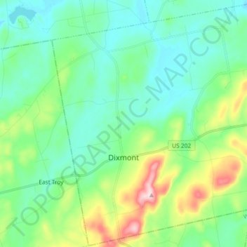
Dixmont topographic map
Click on the map to display elevation.
Thank you for supporting this site ❤️
Make a donation
Make a donation
Dixmont
Dixmont was on the main stage-coach route between Bangor and Augusta, and given that it had the highest elevation along that road, it became a natural rest-stop for tired horses. Wrote William Lloyd Garrison in 1832: "The Dixmont Hills are famous and formidable along this route . . . they are piled upon my memory in all their massive mobility."
Thank you for supporting this site ❤️
Make a donation
Make a donation
About this map
Name: Dixmont topographic map, elevation, terrain.
Location: Dixmont, Penobscot County, Maine, 04932, United States (44.64403 -69.20520 44.74576 -69.06100)
Average elevation: 147 m
Minimum elevation: 75 m
Maximum elevation: 372 m
Thank you for supporting this site ❤️
Make a donation
Make a donation
Other topographic maps
Click on a map to view its topography, its elevation and its terrain.