
Thank you for supporting this site ❤️
Make a donation
Make a donation
Oppelo topographic map
Click on the map to display elevation.
Thank you for supporting this site ❤️
Make a donation
Make a donation
About this map
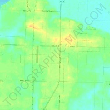
Name: Oppelo topographic map, elevation, terrain.
Location: Oppelo, Conway County, Arkansas, United States (35.07945 -92.80303 35.11580 -92.74760)
Average elevation: 97 m
Minimum elevation: 83 m
Maximum elevation: 112 m
Thank you for supporting this site ❤️
Make a donation
Make a donation
Other topographic maps
Click on a map to view its topography, its elevation and its terrain.
Thank you for supporting this site ❤️
Make a donation
Make a donation
Thank you for supporting this site ❤️
Make a donation
Make a donation