
Thank you for supporting this site ❤️
Make a donation
Make a donation
Fulay (Bhuj) topographic map
Click on the map to display elevation.
Thank you for supporting this site ❤️
Make a donation
Make a donation
About this map
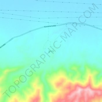
Name: Fulay (Bhuj) topographic map, elevation, terrain.
Location: Fulay (Bhuj), Bhuj Taluka, Kachchh, Gujarat, UNKNOWN, India (23.37039 69.79170 23.41039 69.83170)
Average elevation: 68 m
Minimum elevation: 7 m
Maximum elevation: 292 m
Thank you for supporting this site ❤️
Make a donation
Make a donation