
Ignacio Escudero topographic map
Interactive map
Click on the map to display elevation.
About this map
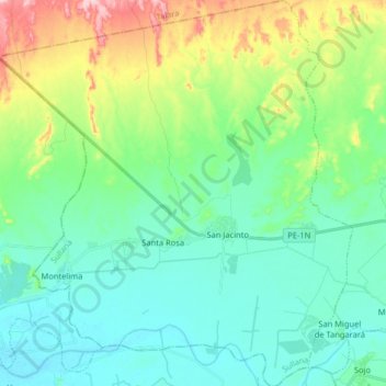
Name: Ignacio Escudero topographic map, elevation, terrain.
Location: Ignacio Escudero, Provincia de Sullana, Piura, Perú (-4.90943 -80.96826 -4.74837 -80.81952)
Average elevation: 66 m
Minimum elevation: 12 m
Maximum elevation: 225 m