
Dhonsa topographic map
Click on the map to display elevation.
About this map
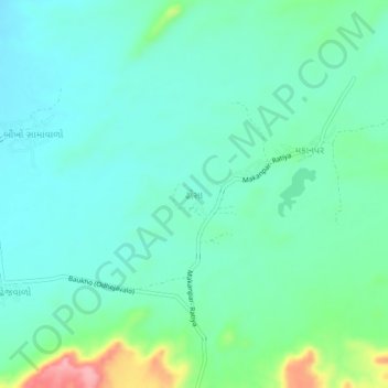
Name: Dhonsa topographic map, elevation, terrain.
Location: Dhonsa, Bhuj Taluka, Kachchh, Gujarat, 370030, India (23.30310 69.59511 23.34310 69.63511)
Average elevation: 100 m
Minimum elevation: 70 m
Maximum elevation: 201 m