
Thank you for supporting this site ❤️
Make a donation
Make a donation
Skanderborg Municipality topographic map
Click on the map to display elevation.
Thank you for supporting this site ❤️
Make a donation
Make a donation
About this map
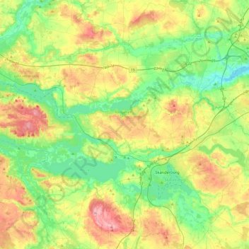
Name: Skanderborg Municipality topographic map, elevation, terrain.
Location: Skanderborg Municipality, Central Denmark Region, Denmark (55.95398 9.63314 56.21694 10.09294)
Average elevation: 66 m
Minimum elevation: -1 m
Maximum elevation: 180 m
Thank you for supporting this site ❤️
Make a donation
Make a donation
Other topographic maps
Click on a map to view its topography, its elevation and its terrain.