
Thank you for supporting this site ❤️
Make a donation
Make a donation
Cieszyn topographic map
Click on the map to display elevation.
Thank you for supporting this site ❤️
Make a donation
Make a donation
About this map
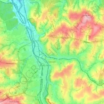
Name: Cieszyn topographic map, elevation, terrain.
Location: Cieszyn, Cieszyn County, Silesian Voivodeship, 43-400, Poland (49.71860 18.59707 49.79296 18.70581)
Average elevation: 309 m
Minimum elevation: 245 m
Maximum elevation: 391 m
Thank you for supporting this site ❤️
Make a donation
Make a donation