
Whitney topographic map
Interactive map
Click on the map to display elevation.
About this map
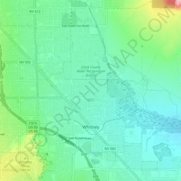
Name: Whitney topographic map, elevation, terrain.
Location: Whitney, Clark County, Nevada, United States of America (36.07087 -115.06433 36.13578 -114.97303)
Average elevation: 524 m
Minimum elevation: 473 m
Maximum elevation: 707 m