
Thank you for supporting this site ❤️
Make a donation
Make a donation
Schotten topographic map
Click on the map to display elevation.
Thank you for supporting this site ❤️
Make a donation
Make a donation
About this map
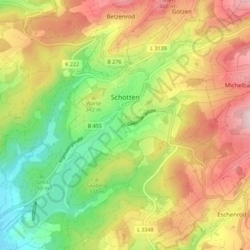
Name: Schotten topographic map, elevation, terrain.
Location: Schotten, Vogelsbergkreis, Hesse, 63679, Germany (50.47288 9.07730 50.51899 9.15763)
Average elevation: 337 m
Minimum elevation: 190 m
Maximum elevation: 497 m
Thank you for supporting this site ❤️
Make a donation
Make a donation
Other topographic maps
Click on a map to view its topography, its elevation and its terrain.