
Black Lakes topographic map
Interactive map
Click on the map to display elevation.
About this map
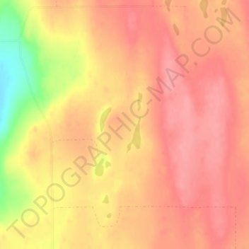
Name: Black Lakes topographic map, elevation, terrain.
Location: Black Lakes, Okanogan County, Washington, USA (48.11297 -119.57777 48.13297 -119.55777)
Average elevation: 757 m
Minimum elevation: 689 m
Maximum elevation: 782 m