
Watchman Island topographic map
Interactive map
Click on the map to display elevation.
About this map
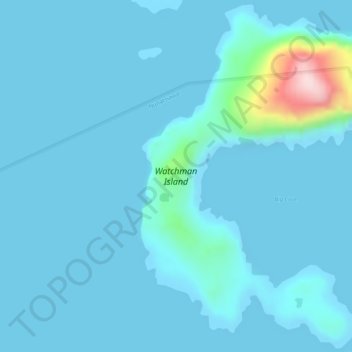
Name: Watchman Island topographic map, elevation, terrain.
Location: Watchman Island, Labrador, Newfoundland and Labrador, Canada (58.19010 -62.12912 58.21652 -62.09113)
Average elevation: 22 m
Minimum elevation: -1 m
Maximum elevation: 295 m
Other topographic maps
Click on a map to view its topography, its elevation and its terrain.