
Thank you for supporting this site ❤️
Make a donation
Make a donation
Dago topographic map
Click on the map to display elevation.
Thank you for supporting this site ❤️
Make a donation
Make a donation
About this map
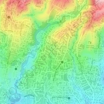
Name: Dago topographic map, elevation, terrain.
Location: Dago, Coblong, Bandung, West Java, Indonesia (-6.88523 107.60621 -6.86159 107.62618)
Average elevation: 825 m
Minimum elevation: 747 m
Maximum elevation: 938 m
Thank you for supporting this site ❤️
Make a donation
Make a donation