
Bärwalder See topographic map
Interactive map
Click on the map to display elevation.
About this map
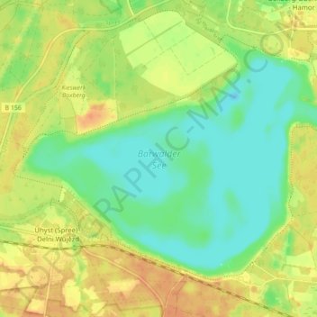
Name: Bärwalder See topographic map, elevation, terrain.
Location: Bärwalder See, Boxberg/O.L., Görlitz, Sachsen, Deutschland (51.35814 14.50129 51.39824 14.58795)
Average elevation: 124 m
Minimum elevation: 107 m
Maximum elevation: 142 m