
Lake Rotoiti topographic map
Click on the map to display elevation.
About this map
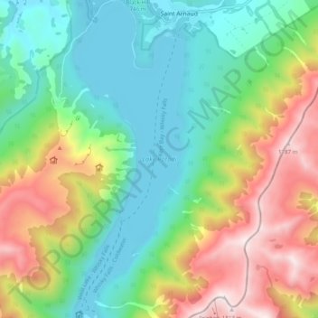
Name: Lake Rotoiti topographic map, elevation, terrain.
Location: Lake Rotoiti, Saint Arnaud, Tasman, New Zealand (-41.87136 172.81524 -41.79837 172.84967)
Average elevation: 1,031 m
Minimum elevation: 614 m
Maximum elevation: 1,805 m
Tasman trails, hiking, mountain biking, running and outdoor activities