
Landayan topographic map
Click on the map to display elevation.
About this map
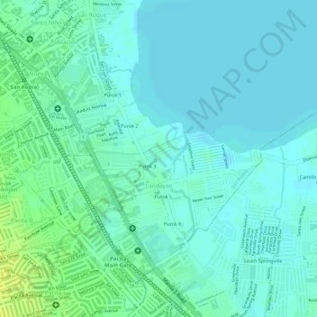
Name: Landayan topographic map, elevation, terrain.
Location: Landayan, San Pedro, Laguna, Calabarzon, 4023, Philippines (14.34545 121.05903 14.36414 121.07628)
Average elevation: 6 m
Minimum elevation: 0 m
Maximum elevation: 19 m