
Eatonton topographic map
Interactive map
Click on the map to display elevation.
About this map
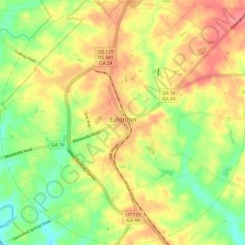
Name: Eatonton topographic map, elevation, terrain.
Location: Eatonton, Putnam County, Georgia, United States (33.28866 -83.43331 33.36266 -83.34407)
Average elevation: 156 m
Minimum elevation: 112 m
Maximum elevation: 198 m