
Thank you for supporting this site ❤️
Make a donation
Make a donation
Narvik topographic map
Click on the map to display elevation.
Thank you for supporting this site ❤️
Make a donation
Make a donation
About this map
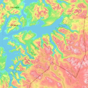
Name: Narvik topographic map, elevation, terrain.
Location: Narvik, Nordland, Norway (67.96934 15.90143 68.60845 18.15135)
Average elevation: 509 m
Minimum elevation: -2 m
Maximum elevation: 1,836 m
Thank you for supporting this site ❤️
Make a donation
Make a donation
Other topographic maps
Click on a map to view its topography, its elevation and its terrain.