
Thank you for supporting this site ❤️
Make a donation
Make a donation
McLean topographic map
Click on the map to display elevation.
Thank you for supporting this site ❤️
Make a donation
Make a donation
About this map
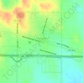
Name: McLean topographic map, elevation, terrain.
Location: McLean, Gray County, Texas, 79057, United States (35.22149 -100.60975 35.24143 -100.59185)
Average elevation: 873 m
Minimum elevation: 856 m
Maximum elevation: 895 m
Thank you for supporting this site ❤️
Make a donation
Make a donation