
Thank you for supporting this site ❤️
Make a donation
Make a donation
Closs topographic map
Click on the map to display elevation.
Thank you for supporting this site ❤️
Make a donation
Make a donation
About this map
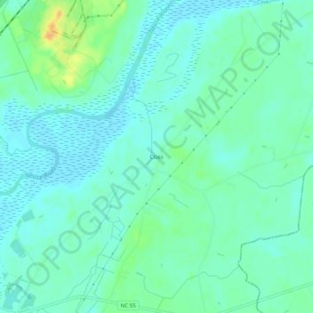
Name: Closs topographic map, elevation, terrain.
Location: Closs, Lenoir County, North Carolina, United States (35.29322 -77.48246 35.33322 -77.44246)
Average elevation: 10 m
Minimum elevation: 1 m
Maximum elevation: 34 m
Thank you for supporting this site ❤️
Make a donation
Make a donation
Other topographic maps
Click on a map to view its topography, its elevation and its terrain.