
Thank you for supporting this site ❤️
Make a donation
Make a donation
Boyle Village topographic map
Click on the map to display elevation.
Thank you for supporting this site ❤️
Make a donation
Make a donation
About this map
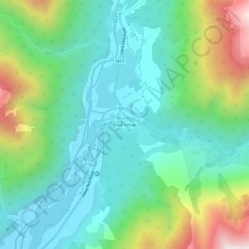
Name: Boyle Village topographic map, elevation, terrain.
Location: Boyle Village, Hurunui District, Canterbury, New Zealand (-42.53752 172.36583 -42.49752 172.40583)
Average elevation: 816 m
Minimum elevation: 541 m
Maximum elevation: 1,522 m
Hurunui District trails, hiking, mountain biking, running and outdoor activities
Thank you for supporting this site ❤️
Make a donation
Make a donation