
Thank you for supporting this site ❤️
Make a donation
Make a donation
Kemabong Baru topographic map
Click on the map to display elevation.
Thank you for supporting this site ❤️
Make a donation
Make a donation
About this map
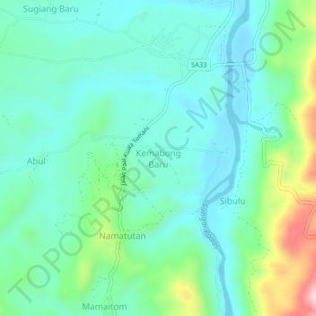
Name: Kemabong Baru topographic map, elevation, terrain.
Location: Kemabong Baru, Tenom, Interior Division, Sabah, Malaysia (4.88038 115.89455 4.92038 115.93455)
Average elevation: 271 m
Minimum elevation: 191 m
Maximum elevation: 532 m
Thank you for supporting this site ❤️
Make a donation
Make a donation