
Sangker River topographic map
Interactive map
Click on the map to display elevation.
About this map
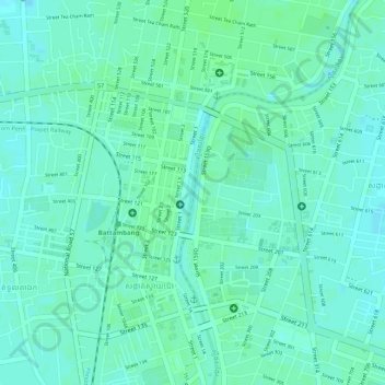
Name: Sangker River topographic map, elevation, terrain.
Location: Sangker River, Battambang, 02351, Cambodia (13.09874 103.19973 13.10149 103.20016)
Average elevation: 15 m
Minimum elevation: 11 m
Maximum elevation: 18 m