
East Fork Beach Creek topographic map
Interactive map
Click on the map to display elevation.
About this map
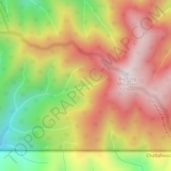
Name: East Fork Beach Creek topographic map, elevation, terrain.
Location: East Fork Beach Creek, Polk County, Tennessee, United States (34.99730 -84.54196 34.99984 -84.53309)
Average elevation: 973 m
Minimum elevation: 597 m
Maximum elevation: 1,273 m