
Magugu topographic map
Interactive map
Click on the map to display elevation.
About this map
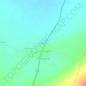
Name: Magugu topographic map, elevation, terrain.
Location: Magugu, Babati, Manyara, Nordzone, Tansania (-4.01540 35.76172 -3.97540 35.80172)
Average elevation: 1,000 m
Minimum elevation: 988 m
Maximum elevation: 1,042 m