
Mesquite topographic map
Interactive map
Click on the map to display elevation.
About this map
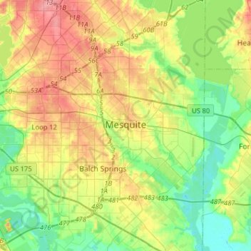
Name: Mesquite topographic map, elevation, terrain.
Location: Mesquite, Dallas County, Texas, United States of America (32.68152 -96.68487 32.84931 -96.42888)
Average elevation: 142 m
Minimum elevation: 108 m
Maximum elevation: 189 m