
Thank you for supporting this site ❤️
Make a donation
Make a donation
Lukou District topographic map
Click on the map to display elevation.
Thank you for supporting this site ❤️
Make a donation
Make a donation
About this map
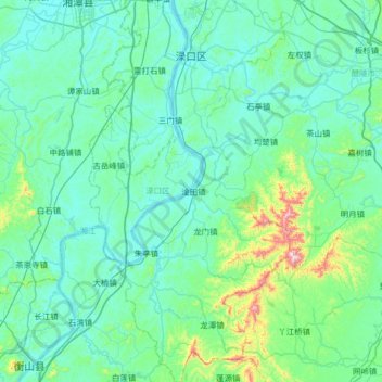
Name: Lukou District topographic map, elevation, terrain.
Location: Lukou District, Zhuzhou, Hunan, China (27.20777 112.96396 27.78343 113.31208)
Average elevation: 113 m
Minimum elevation: 27 m
Maximum elevation: 787 m
Thank you for supporting this site ❤️
Make a donation
Make a donation