
拉西镇 topographic map
Interactive map
Click on the map to display elevation.
About this map
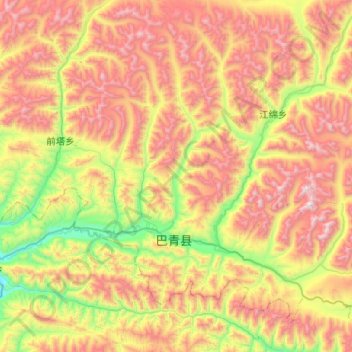
Name: 拉西镇 topographic map, elevation, terrain.
Location: 拉西镇, Baqên, Nagqu, Tibet, China (31.80053 93.88609 32.19593 94.39924)
Average elevation: 4,711 m
Minimum elevation: 3,961 m
Maximum elevation: 5,676 m