
Thank you for supporting this site ❤️
Make a donation
Make a donation
Truskawka topographic map
Click on the map to display elevation.
Thank you for supporting this site ❤️
Make a donation
Make a donation
About this map
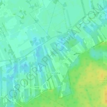
Name: Truskawka topographic map, elevation, terrain.
Average elevation: 76 m
Minimum elevation: 68 m
Maximum elevation: 91 m
Thank you for supporting this site ❤️
Make a donation
Make a donation
Other topographic maps
Click on a map to view its topography, its elevation and its terrain.
Modlin Fortress
Poland > Masovian Voivodeship > Nowy Dwór Mazowiecki County > Nowy Dwór Mazowiecki
Average elevation: 91 m