
Thank you for supporting this site ❤️
Make a donation
Make a donation
Lake Oconee topographic map
Click on the map to display elevation.
Thank you for supporting this site ❤️
Make a donation
Make a donation
About this map
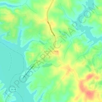
Name: Lake Oconee topographic map, elevation, terrain.
Location: Lake Oconee, Greene County, Georgia, USA (33.43830 -83.26396 33.47830 -83.22396)
Average elevation: 151 m
Minimum elevation: 128 m
Maximum elevation: 188 m
Thank you for supporting this site ❤️
Make a donation
Make a donation