
Thank you for supporting this site ❤️
Make a donation
Make a donation
Potipot Island topographic map
Click on the map to display elevation.
Thank you for supporting this site ❤️
Make a donation
Make a donation
About this map
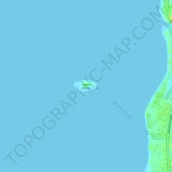
Name: Potipot Island topographic map, elevation, terrain.
Location: Potipot Island, Uacon, Zambales, Central Luzon, Philippines (15.67713 119.91977 15.67897 119.92386)
Average elevation: 1 m
Minimum elevation: 0 m
Maximum elevation: 14 m
Thank you for supporting this site ❤️
Make a donation
Make a donation