
City of Mount Gambier topographic map
Interactive map
Click on the map to display elevation.
About this map
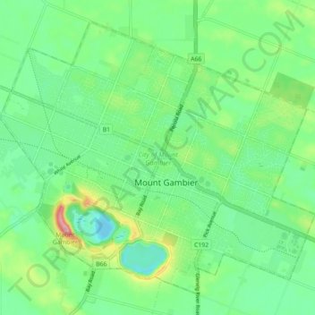
Name: City of Mount Gambier topographic map, elevation, terrain.
Location: City of Mount Gambier, South Australia, Australia (-37.85508 140.73748 -37.79429 140.82620)
Average elevation: 50 m
Minimum elevation: 1 m
Maximum elevation: 168 m
Other topographic maps
Click on a map to view its topography, its elevation and its terrain.