
Maungakaramea topographic map
Interactive map
Click on the map to display elevation.
About this map
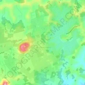
Name: Maungakaramea topographic map, elevation, terrain.
Location: Maungakaramea, Whangarei District, Northland, New Zealand (-35.86461 174.18389 -35.82461 174.22389)
Average elevation: 113 m
Minimum elevation: 44 m
Maximum elevation: 274 m
New Zealand trails, hiking, mountain biking, running and outdoor activities