
Thank you for supporting this site ❤️
Make a donation
Make a donation
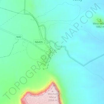
Monument Valley topographic map
Click on the map to display elevation.
Thank you for supporting this site ❤️
Make a donation
Make a donation
Monument Valley
Monument Valley is part of the Colorado Plateau. The elevation of the valley floor ranges from 5,000 to 6,000 feet (1,500 to 1,800 m) above sea level. The floor is largely siltstone of the Cutler Group, or sand derived from it, deposited by the meandering rivers that carved the valley. The valley's vivid red coloration comes from iron oxide exposed in the weathered siltstone. The darker, blue-gray rocks in the valley get their color from manganese oxide.
Thank you for supporting this site ❤️
Make a donation
Make a donation
About this map
Name: Monument Valley topographic map, elevation, terrain.
Location: Monument Valley, Navajo County, Arizona, United States (36.97239 -110.12111 36.99239 -110.10111)
Average elevation: 1,675 m
Minimum elevation: 1,585 m
Maximum elevation: 2,009 m
Thank you for supporting this site ❤️
Make a donation
Make a donation