
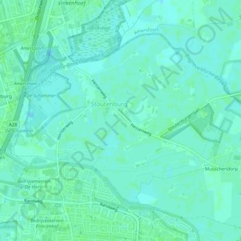
Stoutenburg topographic map
Interactive map
Click on the map to display elevation.
About this map
Name: Stoutenburg topographic map, elevation, terrain.
Location: Stoutenburg, Leusden, Utrecht, Nederland (52.14219 5.41392 52.16152 5.45607)
Average elevation: 3 m
Minimum elevation: 0 m
Maximum elevation: 7 m
Other topographic maps
Click on a map to view its topography, its elevation and its terrain.