
Thank you for supporting this site ❤️
Make a donation
Make a donation
Balsam Mountain topographic map
Click on the map to display elevation.
Thank you for supporting this site ❤️
Make a donation
Make a donation
About this map
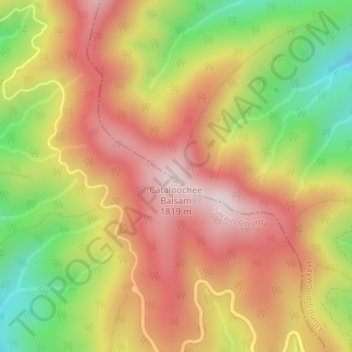
Name: Balsam Mountain topographic map, elevation, terrain.
Average elevation: 1,569 m
Minimum elevation: 1,281 m
Maximum elevation: 1,799 m
Thank you for supporting this site ❤️
Make a donation
Make a donation
Other topographic maps
Click on a map to view its topography, its elevation and its terrain.
Town of Maggie Valley
United States > North Carolina > Haywood County > Town of Maggie Valley
Average elevation: 907 m
Thank you for supporting this site ❤️
Make a donation
Make a donation